Recommended moderate hikes showcase some of the best high alpine lakes, waterfalls and sweeping views of the area. Make sure you are prepared for your Breckenridge hiking adventure. Once you’ve conquered the moderate hiking trails in Breckenridge and are ready for the next step, check out the recommended difficult hikes.
Moderate Hiking Trails in Breckenridge:
Blue Lakes-Monte Cristo Gulch

The Blue Lakes Trail is an easy yet gorgeous hike.
A short, moderate hike to a historic area full of mine relics and high alpine lakes. The trail is completely above tree line, starting at 11,748 feet elevation.
Distance: 2.8 miles
Elevation Gain: 1131 feet
Directions: From the intersection of Main Street and Ski Hill Road/Lincoln Avenue drive south on Highway 9 approximately 8 miles to Blue Lakes Road (No. 850). Turn right. At the fork, go straight and follow the road 2.2 miles. Park just below the dam. The trailhead is just above the dam at its north end.
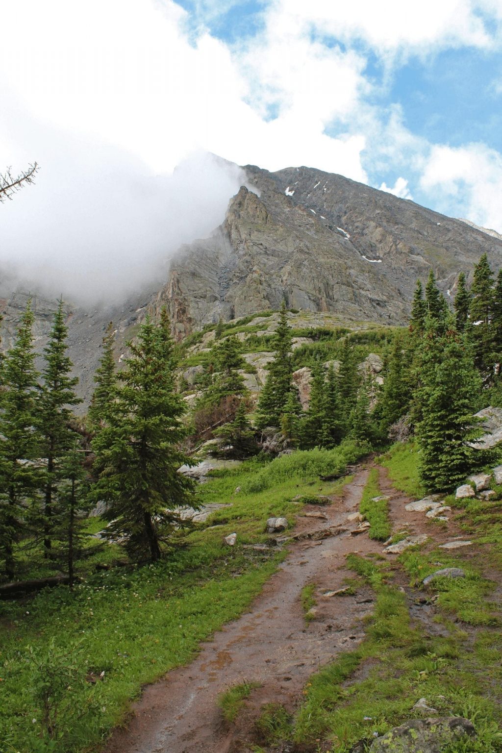
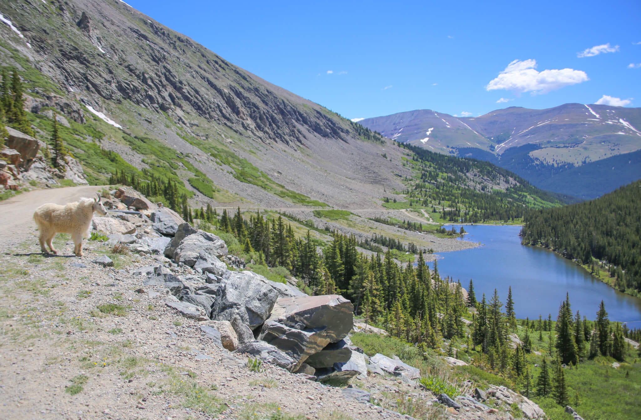
McCullough Gulch
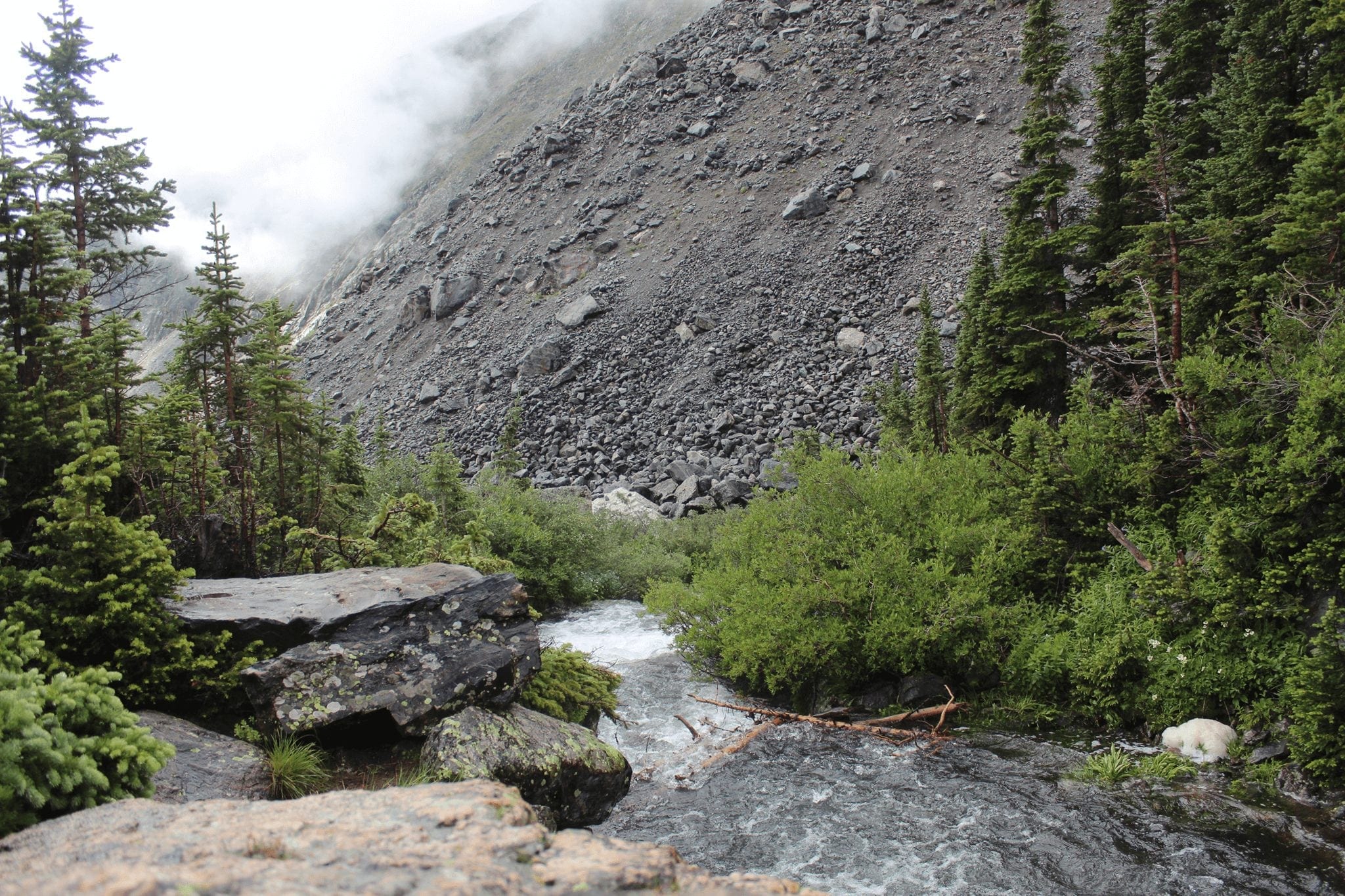
McCullough Gulch follows a beautiful stream up to a high alpine lake.
A beautiful, high alpine hike that wanders through rich evergreen forests with granite outcroppings, waterfalls, green meadows and fragile wildflowers.
Distance: 2.9 miles round trip
Elevation Gain: 892 feet
Directions: From the intersection of Main Street and Ski Hill Road/Lincoln Avenue drive south on Highway 9 approximately 8 miles to Blue Lakes Road (No. 850).
- Visitors to Quandary Peak and McCullough Gulch Trail areas will now be required to reserve parking online or use the free shuttle from Breckenridge. Learn More. There is no parking at McCullough Gulch Trailhead.
Mohawk Lakes
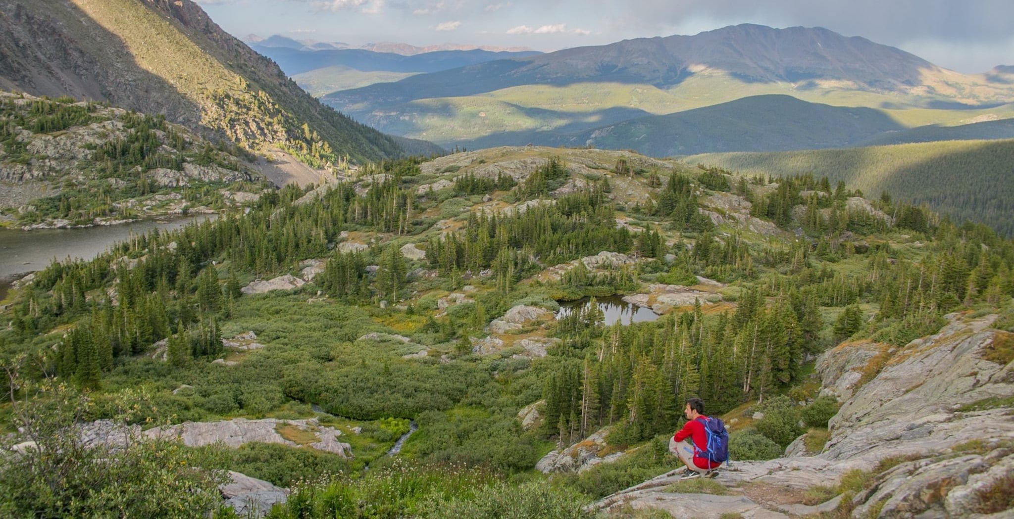
Views from the Mohawk Lakes Trail.
This moderate hike offers stunning scenery, gorgeous mountain lakes and historic mine ruins. The views on this challenging hike make the climb up worth it.
Distance: 8.6 miles round trip
Elevation Gain: 2,129 feet
Directions: From the intersection of Main Street and Ski Hill Road/Lincoln Avenue drive south on Highway 9 approximately 2.5 miles to Spruce Creek Road (No. 800). Turn right and bear left after .1 miles. Proceed 1.2 miles to the trailhead.
Black Powder Pass
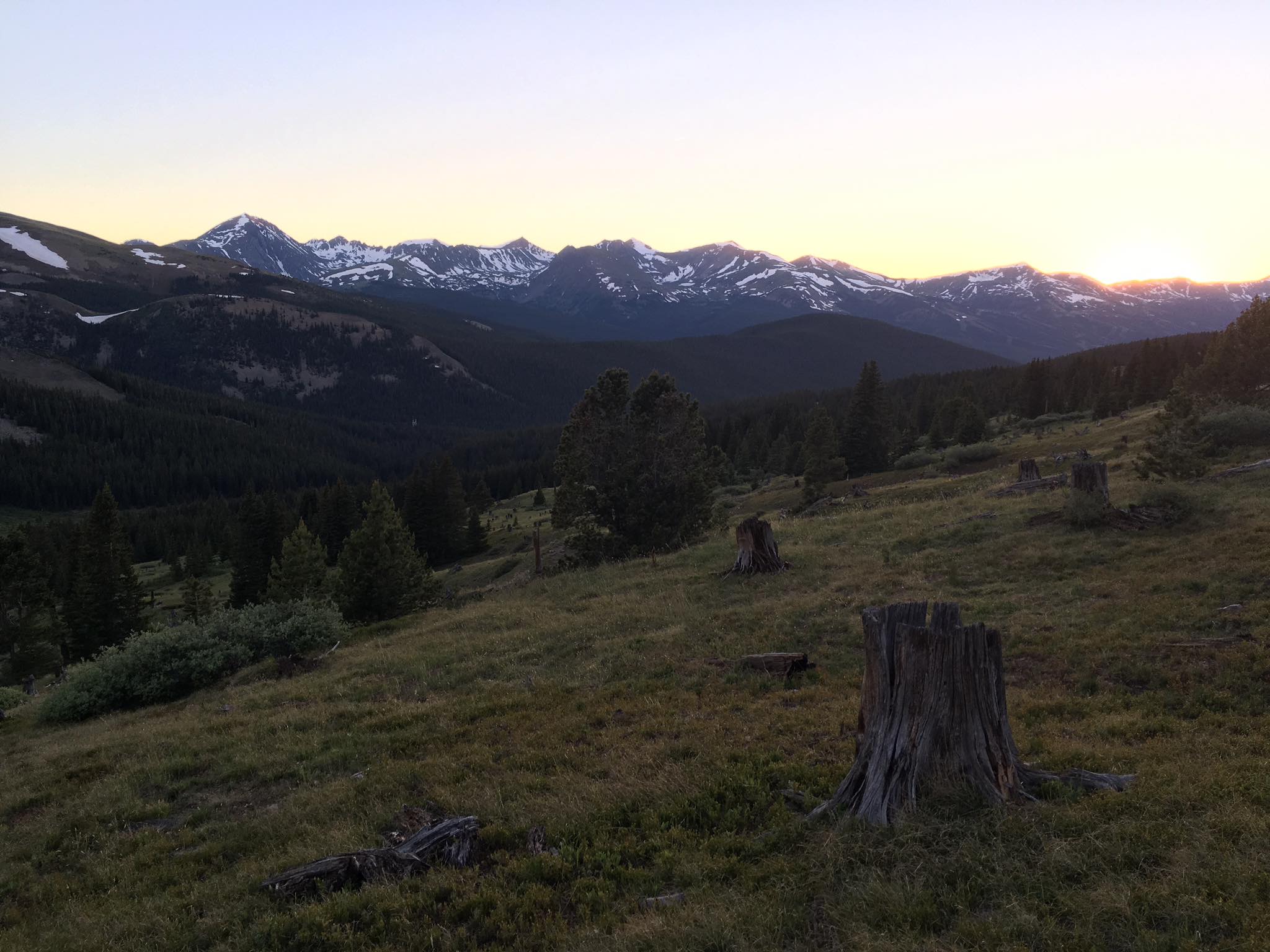
Black Powder Pass offers spectacular views of the Mosquito Range.
With a high point of 12,159 feet, this hike ends on the saddle between Boreas Mountain and Baldy Mountain, offering amazing views of Summit and Park counties. Wildflowers blanket the fields throughout most of the summer.
Distance: 3.4 miles round trip
Elevation Gain: 671 feet
Directions: From the intersection of Main Street and Ski Hill Road/Lincoln Avenue, drive south on Highway 9 approximately .6 miles to Boreas Pass Road (the last stoplight in town). Turn left and follow the road for 9.6 miles to the top of Boreas Pass. Park in the parking lot on the left. The trailhead is northeast of the Section House (the big building at the top). Follow the dirt track labeled, “Boreas Ditch No. 2.”
More Trails
CHOOSING A TRAIL
With hundreds of miles to choose from it can be hard to decide on which trails to explore. Our best resources will give you ideas on where to go and how to prepare for your hike. For a full listing of all the excellent trails located in the area, download the Breckenridge Summer Trails Map by visiting the Open Space and Trail Maps Page.
You can find brag-worthy climbs, big views and more on any of the 200+ miles of trails in Breckenridge. Here are our favorite resources to check while choosing a trail.
Hiking in Breckenridge

Embrace The Spirit
BLike Breckenridge™️ is a movement born of the spirit of our historic mountain town for those who call it home—whether for a weekend or a lifetime—to live by. It is a cause that connects us to each other, that we can all be a part of.