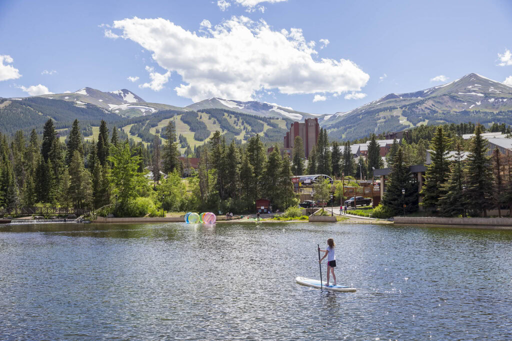
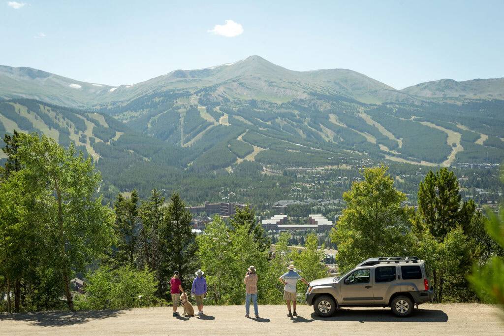
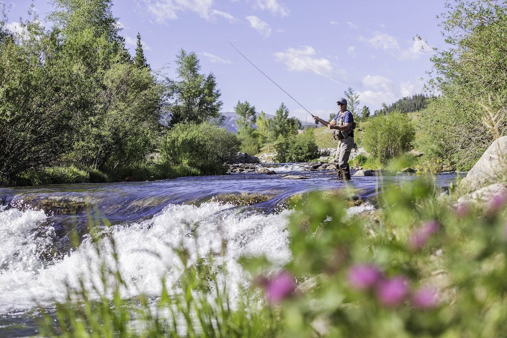
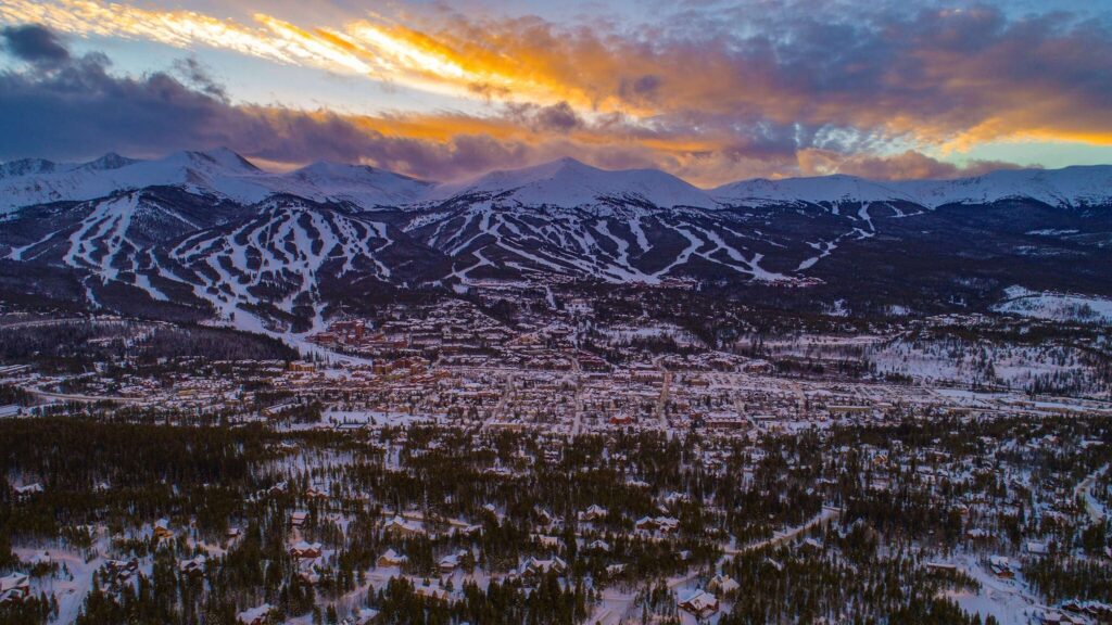
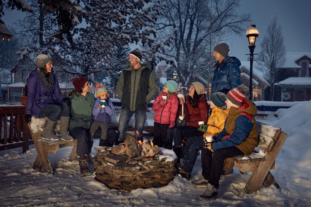
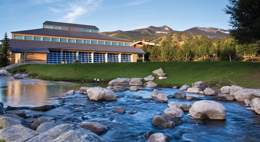
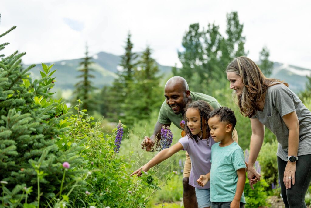
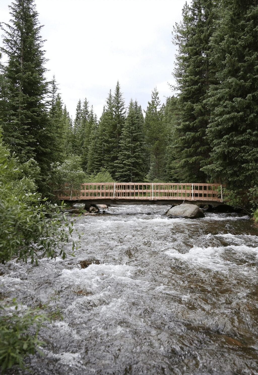
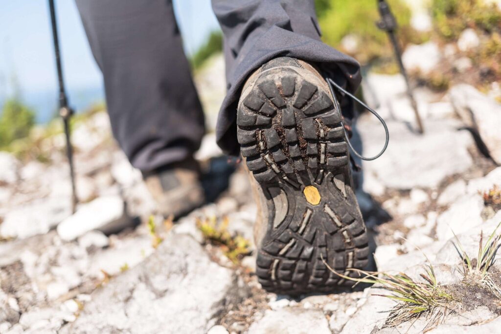
Breckenridge’s central location puts us right in the middle of the Rocky Mountains with miles of scenic roads in every direction. While we always say, “there’s no better way to explore Breckenridge than with your own two feet.” rest assured, there’s still plenty to enjoy on a scenic drive. These scenic drives offer more than natural beauty, they include high elevation views, mining and railroad history, ranch lands, and ski area life. Here we’ve compiled a list of the best scenic drives around Breckenridge. Gas up, buckle up and enjoy!
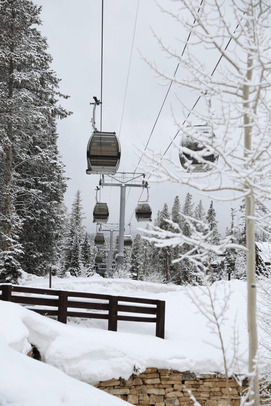
Breckenridge Gondola
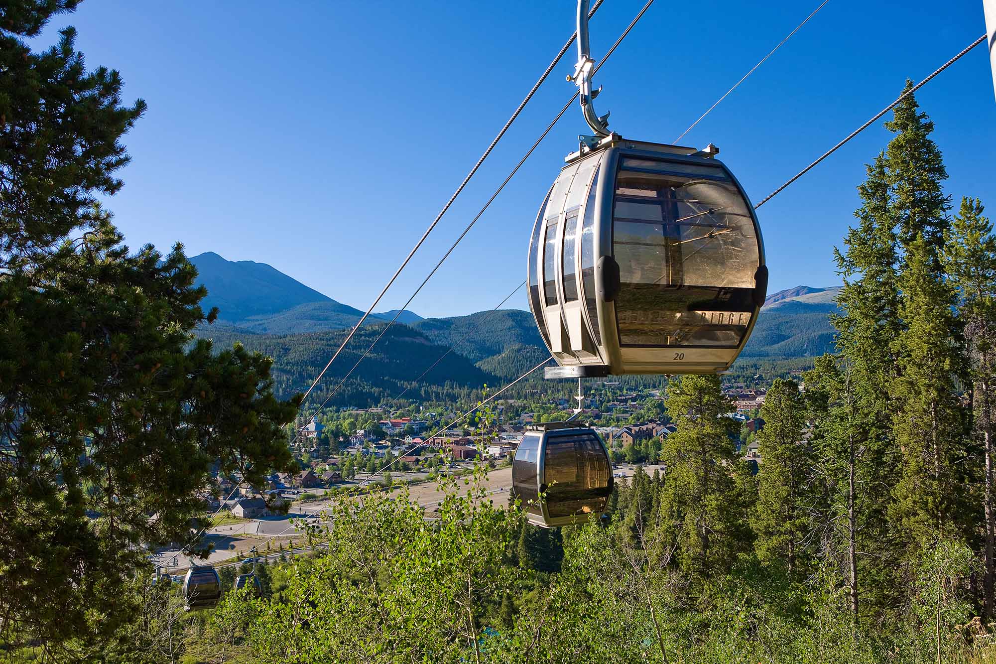
Ok, it’s not a drive, but gondolas are the newest form of transportation in many modern cities. The free BreckConnect Gondola whisks you away from downtown Breckenridge to the base of Peak 8 at the Breckenridge Ski Area in just a quarter of an hour. Embark at the Town terminal and quickly climb up Shock Hill over aspen trees and the trail network of the Breckenridge Nordic Center. The first stop serves the Nordic Center and the homes at Shock Hill. Unlike a city gondola, the Breckenridge conveyance soars over the extensive Cucumber Creek wetlands and beautiful spruce forests. The protected wetlands are home to beaver, birds and boreal toads. You might even see a moose. The wetlands make way to thick spruce and fir forests before stopping at the two ski resort base areas.
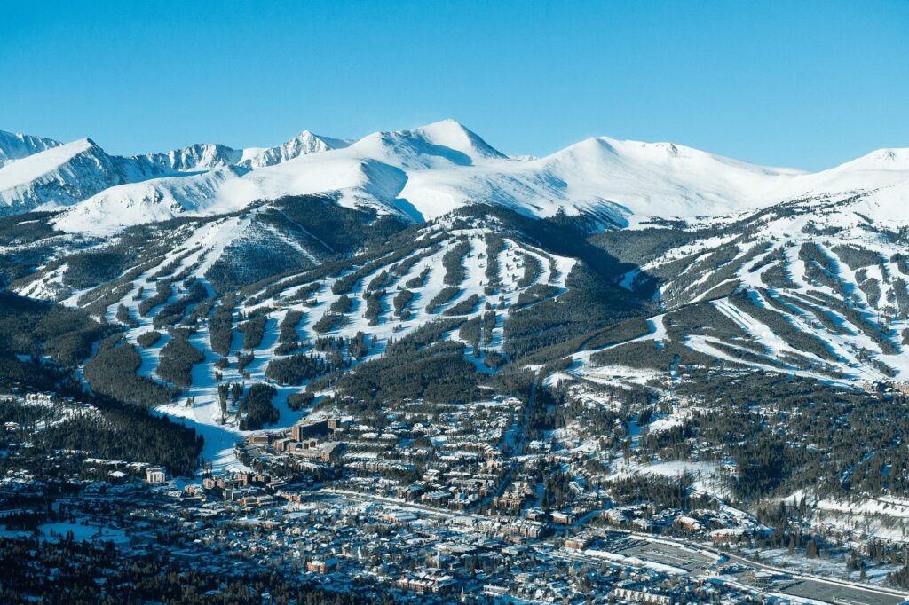
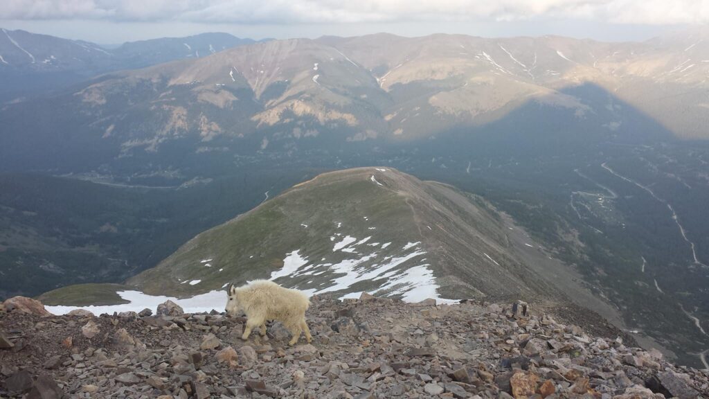
Along the way, distant views include the Continental Divide, Ten Mile Range and Williams Fork Range. Disembark at Peak 8 for activities like the Alpine Slide and Ziplining in the summer, and skiing and snowboarding in the winter. Or stay on the gondola and loop back into town. Total distance is over two miles, allow 25 minutes round trip. The BreckConnect Gondola is free and available during ski season hours and summers during Epic Discovery.
French Gulch
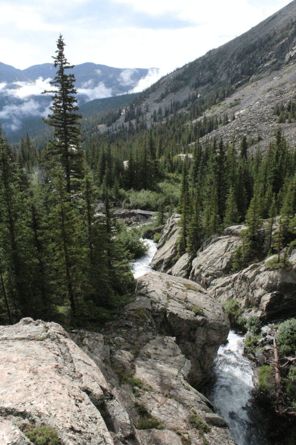
In just a few miles, French Gulch offers a complete history lesson on mining in Breckenridge, and the scenery is lovely too. We especially like French Gulch in the fall when the aspen leaves turn rusty red, gold, and orange.
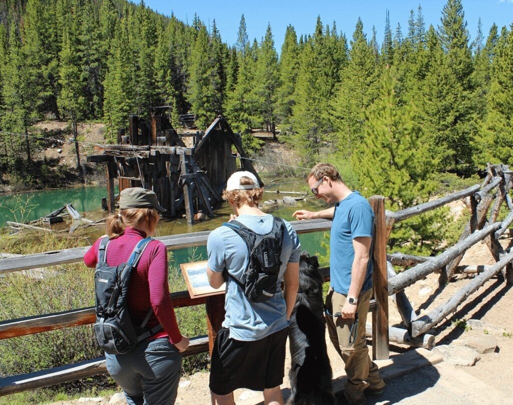
Depart downtown Breckenridge and head east on Wellington Road, the route that the miners took to get to work at the Wellington Mine. Once past the neighborhoods, the road turns to dirt and the scenery changes. The only development is what the miners left behind. Hillsides covered with evergreen and aspen trees hide a network of trails. Mining structures at the Wellington Oro Bin and the Country Boy Mine attest to the riches in this valley. The giant piles of rock cobble indicate the path of the gold mining dredge boats, like the Reiling Dredge abandoned about a mile up the valley.
The road tucks under an aspen canopy on the way to the ghost town of Lincoln City. Today there are only a few buildings left. Interpretive signs at many of the highlights provide historical information on the sights. The road ends about 2 ½ miles from the end of dirt at the trailhead. Gates close the road above this point. Turn around here and enjoy the spectacular views of the Breckenridge Ski Resort on your journey west.
Boreas Pass
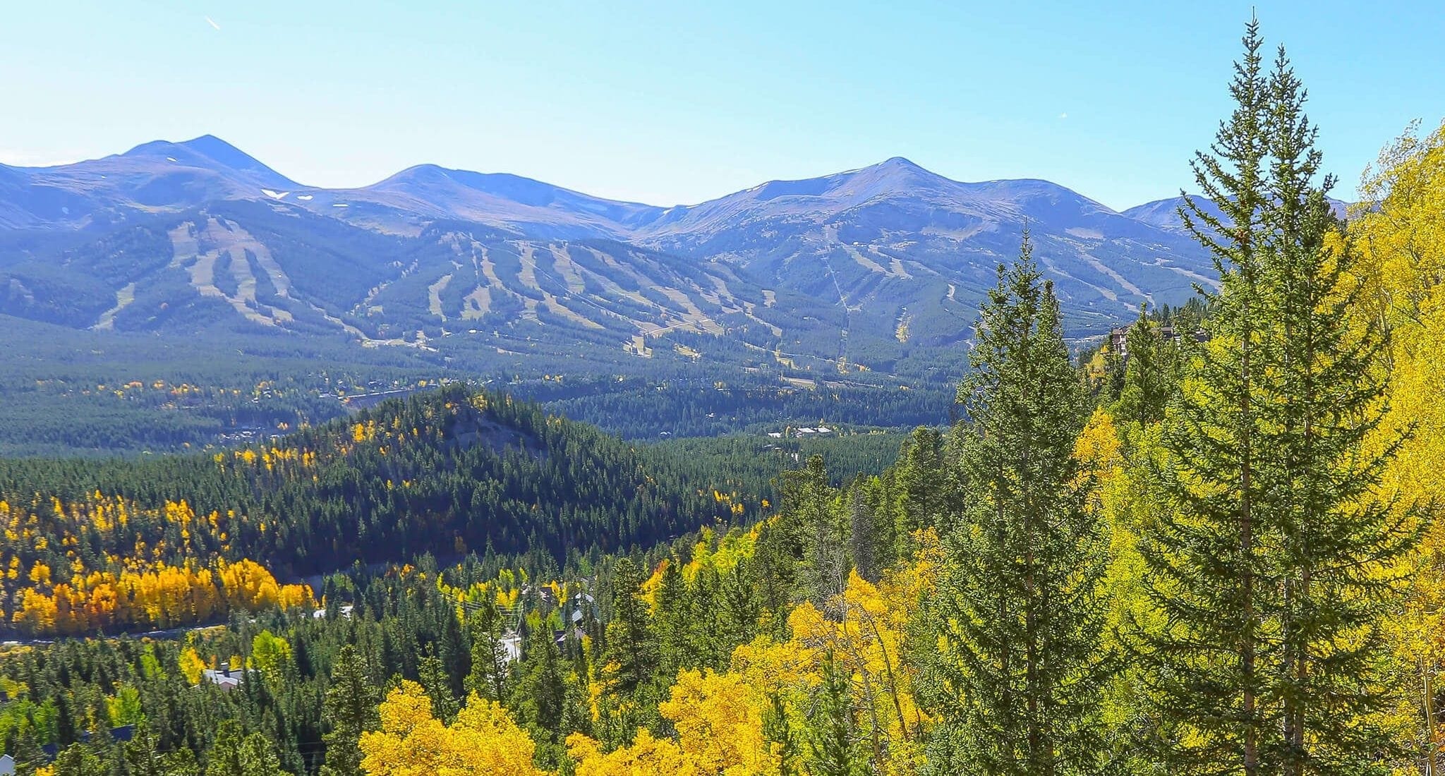
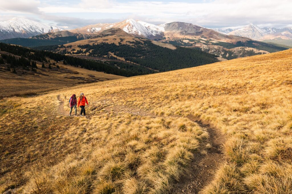
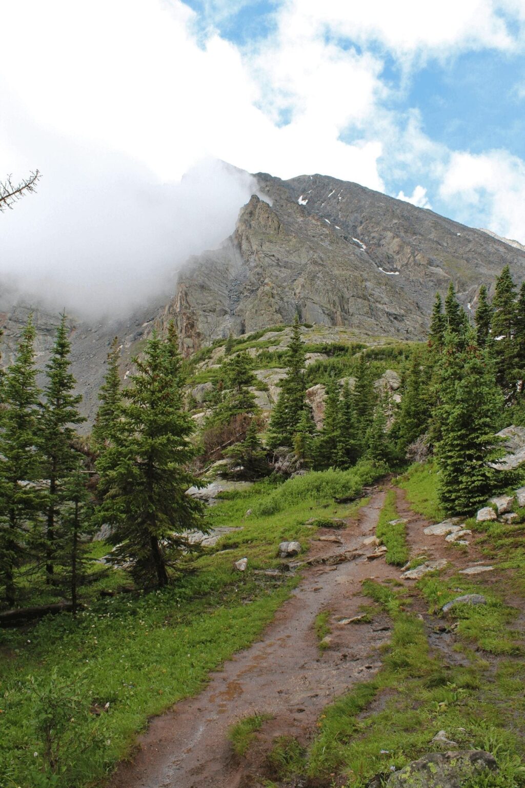
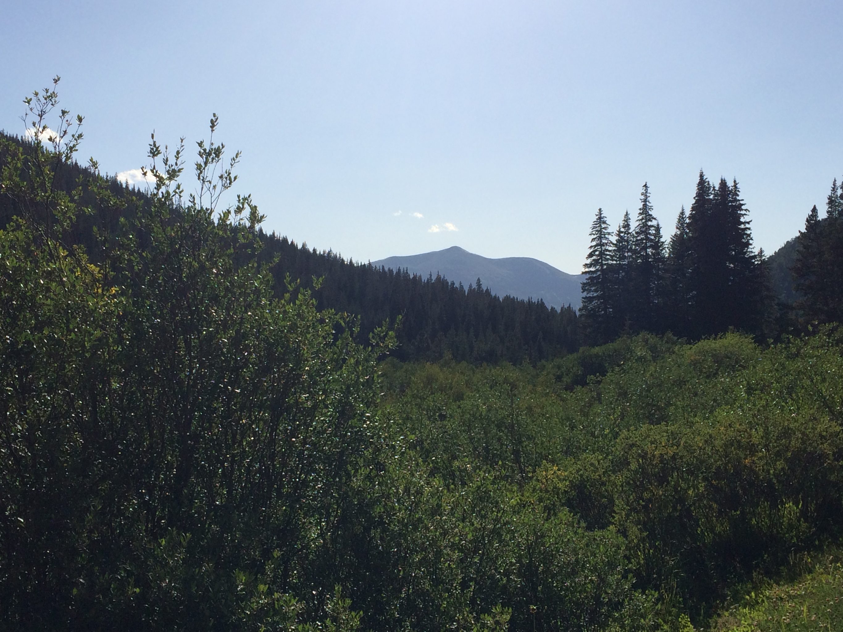
A must-see in Breckenridge is Boreas Pass. Originally the only way in and out of town during the days of the railway, today it is a relatively easy autoroute with knock-out views from west to east. At the south end of Breckenridge, turn east onto Boreas Pass Road. Learn more about the history of Boreas Pass at the free Highline Railroad Park and Museum, just past the turn. Drive for about four miles before the road turns to dirt at the Boreas Pass Trailhead. Soon, the views open up to the west with the Ten Mile Range and Breckenridge Ski Resort filling the horizon.
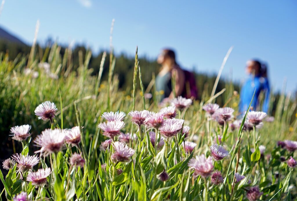
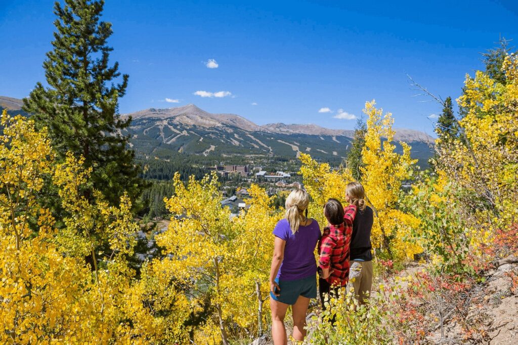
As the road travels to the south, the drop-offs show Goose Pasture Tarn, the high peak Quandary, and Hoosier Pass. Then Red Peak and Red Mountain come in to view as the road continues its journey to the east, through an aspen tunnel to the first meadow. At this meadow, wildflowers bloom in profusion and Bald Mountain is highlighted on the skyline. Mid-way up the mountain, the trains stopped at Bakers Tank to take on water for the steam engines. You are gaining elevation with each mile passed. Soon you will break into the sub-alpine zone with wide-open vistas, bright yellow sunflowers, and a view of your destination at the Continental Divide. At the top, stretch your legs, check out the Section House and Wagon Cabin, and straddle the Continental Divide, the spine of the country. Return the way you came, or continue the loop into Como. From Breckenridge to the summit and back is 20 miles, allow at least an hour. Boreas Pass is known for its aspen tunnels in September and becomes one of the most popular routes for leaf peepers.
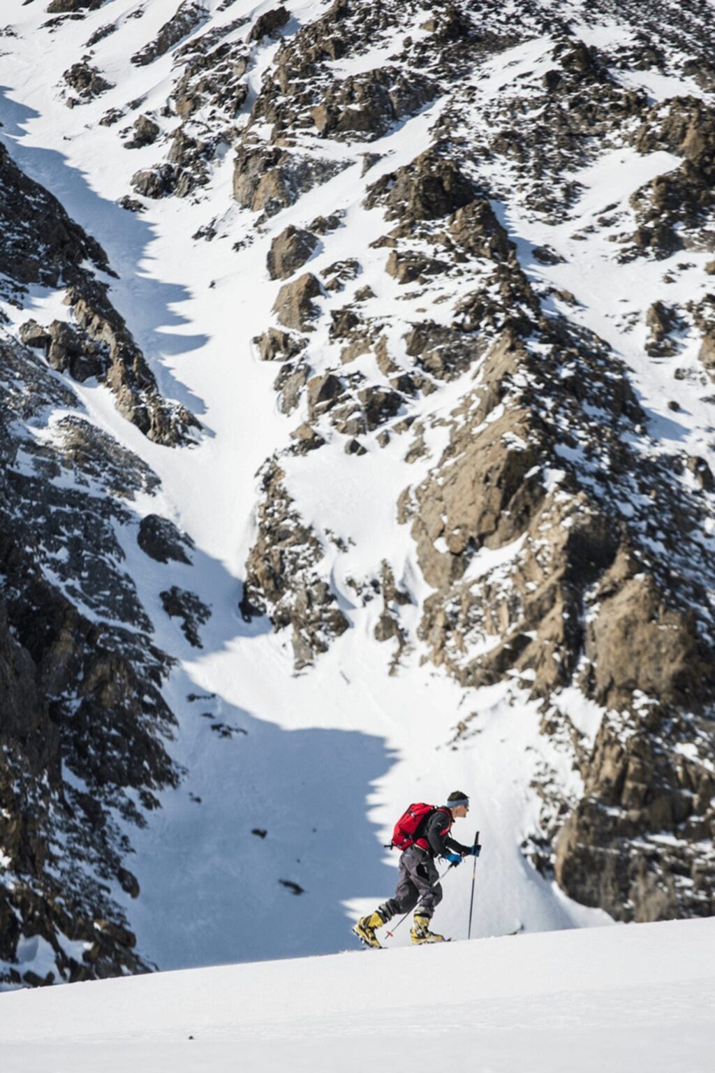
*Boreas Pass Road closes during the winter months and becomes a recreational mecca for winter hikers, snowshoers and cross-country skiers.
Boreas Pass Loop to Como, Fairplay and Alma

Instead of returning to Breckenridge via the same route, another option is to make a loop. Continue east on Boreas Pass Road, taking in the vistas toward the eastern plains. It is very different from the west side with low mountains and open park-like valleys. Immediately the elevation drops as you wind your way to the valley bottom to the small town of Como.
Several historic railroad buildings are found in Como, including a restored roundhouse and hotel to serve railway travelers. Turn right or west on U.S. Highway 285 to travel to Fairplay over Red Mountain Pass. The mountains are distant along this stretch of highway and you can see for miles. In Fairplay, turn right onto Colorado Highway 9. Pursue your interest in Colorado history at the excellent South Park City Museum located at the north end of town. The massive Mosquito Range occupies the western horizon as you drive six miles north to Alma, one of the highest elevation towns in the country. Hoosier Pass looms up ahead. Climb up and over the Continental Divide again here, and make your descent back into Breckenridge. The total loop is about 72 miles and takes over two hours to drive, not including stops.
Highway 9 Down the Blue
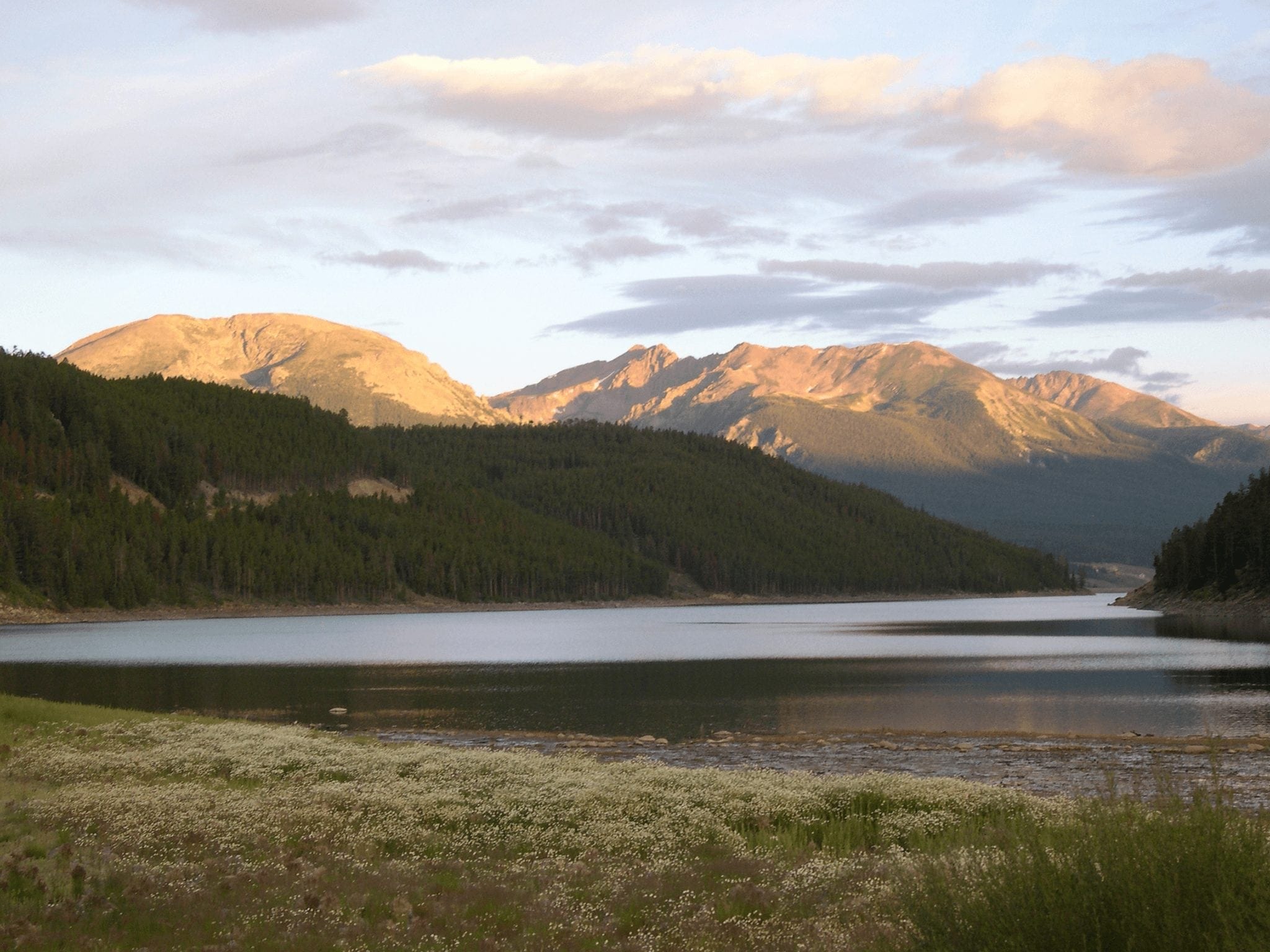
The ranching country of northern Summit County was barely inhabited during the heyday of mining in Breckenridge. But when pioneer families tired of working underground, many moved north, to the open meadows and ranchlands down the Blue River. Miners had to eat and the early ranching families were happy to provide beef, milk, and produce. Many of the old ranches are protected with conservation easements today to preserve the scenic views and agricultural heritage of the area. Framing the verdant meadows are the craggy Gore Range to the west and the gentle Williams Fork Range to the east, as the Blue River rolls down to its confluence with the Colorado River. To travel down the Blue, take Highway 9 north out of Breckenridge to Frisco and pick up I-70 Eastbound a short distance to Silverthorne. Continue north on Highway 9 all the way to the very end of the County, turn left on to County Road 30, and circle back to the west through Heeney and along Green Mountain Reservoir before returning to Highway 9 at the Blue River crossing. Return to Breckenridge the way you came. Total mileage is about 45 miles, allow two hours round trip.
To make the most of your tours, we ask that you observe scenic driving etiquette when traveling on our mountain roads. Please be prepared, buckle up, observe the speed limits, and if you are going slow to take in the scenery, please pull over to allow others to pass. And be sure to take plenty of photos!